
Last modified: 2025-08-30 by rob raeside
Keywords: la pocatière | quebec |
Links: FOTW homepage |
search |
disclaimer and copyright |
write us |
mirrors
![[La Pocatièreflag]](../images/c/ca-qclpo.gif) image
by Ivan Sache, 24 May 2020
image
by Ivan Sache, 24 May 2020See also:
A white flag with the name in blue below two blue and green curves.
City flag is a logo on white:
https://www.quebecoriginal.com/en/listing/images
https://www.jabo-net.com/hotel13.jpg
Logo:
https://upload.wikimedia.org/wikipedia/commons/2/26/Ville_la_pocati%C3%A8re
Dave Fowler, 24 May 2020
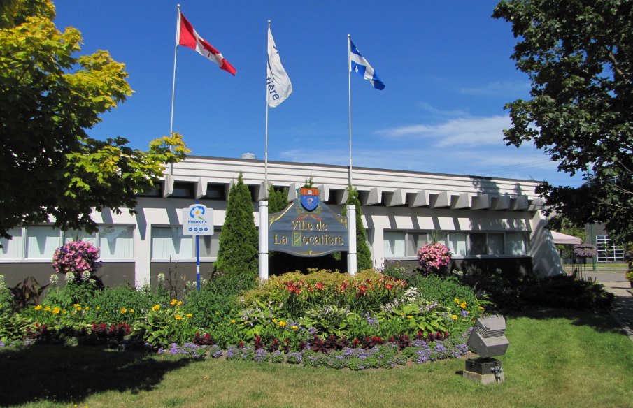
The municipality of La Pocatière (4,120 inhabitants in 2016; 2,130 ha) is
located in the south shore of the lower Saint Lawrence, 130 km east of Quebec.
La Pocatière is named after François Pollet de la Combe-Pocatière
(1630?-1672), officer in the regiment of Carignan-Salières. After the regiment's
disbanding in 1668, he stayed in Quebec and married in 1669 Marie-Anne Juchereau.
On 18 September 1670, his father-in-law, Nicolas Juchereau de Saint-Denis,
member of the Sovereign Council of Nouvelle-France, offered him "a plot of half
a league in front on two leagues in depth, part of the fief known to the
salvages as Kamisitsit and to the French as Grande-Anse". After his death, his
widow was granted by Intendant Jean Talon the domain of La Pocatière, "one
league and a half along the river and as many in depth". The owner renamed the
domain to Sainte-Anne de la Pocatière.
http://www.biographi.ca/fr/bio/pollet_de_la_combe_pocatiere_francois_1F.html
Dictionnaire biographique du Canada
The municipality of
Sainte-Anne-de-la-Pocatière was established in 1845. On 1 January 1950, the
village of Sainte-Anne separated from the municipal corporation of
Sainte-Anne-de-la-Pocatière. The village corporation became the municipality of
Ville de la Pocatière on 24 November 1961.
https://www.lapocatiere.ca/
Municipal website
The refined graphic image, using a quite legible
typography, forms a dynamic identification, which is efficient and easy to
apply. The colors composing the logo are bright, clear and modern. The three
lines placed above the writing represent the monadnocks, also called "cabourons",
which are one of the most characteristic elements of La Pocatière's landscape;
the fluid lines also highlight the presence of the river.
Blue is a
symbol of loyalty, harmony, communication, and living together with the river.
Green is a symbol of nature, big spaces, vital energy and well-being.
https://www.lapocatiere.ca/la-ville/lorganisation/armoiries-et-logo/
Municipal website
The word "monadnock" is synonym of "inselberg", an
isolated mountain".
Inselberg, which first appeared in English in 1913, comes
from the German words Insel, meaning "island," and Berg, meaning "mountain,"
apparently because German explorers thought isolated mountains rising from the
plains of southern Africa looked like islands in the midst of the ocean.
Geologically speaking, an inselberg is a hill of hard volcanic rock that has
resisted wind and weather and remained strong and tall as the land around it
eroded away. Ayers Rock and Olga Rocks in central Australia are two spectacular
examples of inselbergs. The word monadnock, derived from the name of Mount
Monadnock in New Hampshire, is a synonym of "inselberg."
https://www.merriam-webster.com/dictionary/inselberg
Merriam-Webster
The Kamouraska "cabourons" are not of volcanic origin; they are made of
quartzite that resisted erosion during the ice age. Following the withdrawal of
the Goldwaith Sea, the "cabourons" form heights of 300 feet in elevation. Some
of them are named for their owners, such as Montagne Thiboutot, acquired by
Pierre Thiboutot on 1786, and Montagne à Coton, named in 1871 for the hermit
Johnny Lainé (with a pun on "laine", "wool", and "coton", "cotton") who settled
there in the 1850s. The "cabourons" form a specific ecosystem. Brother Marie-Victorin
(1885-1944), father of the Botanical Garden of Montreal, found there in 1912
several rare lichen species. The same year, the geologist John A. Dresser
published a geological map of the hills.
https://leplacoteux.com/2019/08/lieu-de-memoire-les-cabourons-de-kamouraska/
Le Placoteux, 25 August 2019
Ivan Sache, 24 May 2020
.png)