
Last modified: 2026-05-16 by martin karner
Keywords: ma'alot-tarshiha | iriyat ma'alot-tarshiha | tarshiha | coat of arms (landscape: proper) |
Links: FOTW homepage |
search |
disclaimer and copyright |
write us |
mirrors
![[Municipality of Ma'alot-Tarshiha, blue variant (Israel)]](../images/i/il-mats1.gif) image by Dov Gutterman | 2:3     |
![[Municipality of Ma'alot-Tarshiha, yellow variant (Israel)]](../images/i/il-mats2.gif) image by Dov Gutterman | 2:3 |
|||
![[Municipality of Ma'alot-Tarshiha, orange variant (Israel)]](../images/i/il-mats3.gif) image by Dov Gutterman | 2:3 |
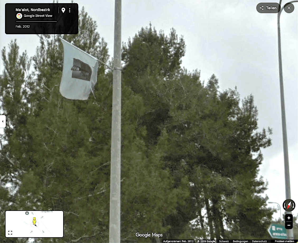
♦ photo
See also:
Ma'alot-Tarshiha is in Western Galilee, 20 km east of Nahariya. This municipality was
established by joining the Jewish settlement of Ma'alot with the
Arabic settlement of Tarshiha (pronounced Tarshikha). Pop.
20'000.
There is no official flag, not even a particular colour. The
municipality use a variety of colours. The municipal emblem
appears not to have been published in the official gazette (Rashumot,
Yalkut HaPirsumim).
Sources: author's own observation, 1999; municipal website [retrieved]
Dov Gutterman, 10 September 2001
I spotted three variants of the municipal flag: light blue
flag with blue emblem, yellow flag with black emblem and orange
flag with black emblem. No inscription.
Sources: author's own observation, 19 September 2001.
Dov Gutterman, 3 October 2001
In my visit a week ago, same flags are still use in variety of
colors.
Ma'alot-Tarshiha is the only local authority in Israel which was
established by uniting a Jewish and an Arab communities into one.
Ma'alot was established in 1957 on Har HaRakafot
(Cyclamens Mt. [in Arabic – Bab Al-Hauwa – Gate of the
Winds]) on the north side of road 89.
Tarshiha is known from the Crusaders era as: Terschia, Torsia and
Terslgha. It is situated on the South side of road 89.
In 1963 it was decided to unite them into one Local Council
(Municipality since 1994) with population of 21'000 inh. (2003:
80% Jews, 10% Christians, 9% Moslems, 1% Druze).
Ma'alot became known after being the sitefor the first major
terrorist attack on Israel. On May 1974, a group of Terrorist
from Lebanon took over a school and in the following battle 21
school children, 3 adults and a soldier were killed by them with
68 others wounded.
The lake which is seen in the center of the emblem is
"Monfort Lake" situated east to Ma'alot (and not at all
near the Monfort Castle as the name may suggest), now a tourism
attraction. The official name of this man-made lake is
"Ma'alot Lake" and previously it was used as water
reservoir named "Hosen Reservoir".
Source: municipal
website [retrieved].
Dov Gutterman, 27 April 2005
![[Municipality of Ma'alot-Tarshiha, desk flag variant (Israel)]](../images/i/il-mats4.gif) image by Dov Gutterman | 2:3 |
The flags in the city have an outlined emblem only. The natural
colours on white appear on the desk flag only.
Dov Gutterman, 29 April 2003
![[CoA of AcMa'alot-Tarshiha]](../images/i/il-maalot).png)
![[CoA of AcMa'alot-Tarshiha]](../images/i/il-mats).jpg)
♦ photo
_ph.png)