 Shipmate Flagchart : http://www.flagchart.net
adoption date: unknown

Last modified: 2018-12-15 by rob raeside
Keywords: nijkerk |
Links: FOTW homepage |
search |
disclaimer and copyright |
write us |
mirrors
 Shipmate Flagchart : http://www.flagchart.net
adoption date: unknown
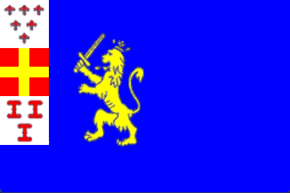
![[Nijkerk Coat of Arms]](../images/n/nl-ge)nk.jpg) image from the Nijkerk municipal website.
image from the Nijkerk municipal website.
Granted 22 Nov 2000.
 Shipmate Flagchart : http://www.flagchart.net
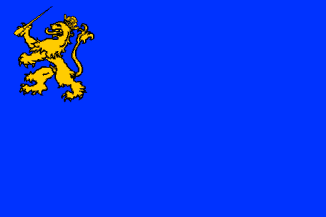
adopted 28 Feb 1964.
 Shipmate Flagchart : http://www.flagchart.net
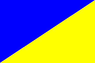
Sierksma's Nederlands Vlaggenboek, 1962 [sie62]
has:
Flagdescription: Diagonnaly divided blue - yellow.
This flag is not official, but is used by the citizens. The municipal
council uses a flag with two equally wide horizontal stripes yellow and
blue. These colors are derived from the municipal Coat of Arms.
![[Nijkerk historical council flag]](../images/n/nl-ge0nk.gif) Shipmate Flagchart : http://www.flagchart.net
Shipmate Flagchart : http://www.flagchart.net
 Shipmate Flagchart : http://www.flagchart.net
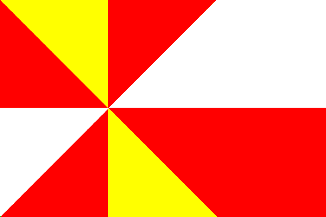
Hoevelaken is a notorious road junction just outside Amersfoort, on
the border between Utrecht and Gelderland.
I wonder whether the flag reflects the traffic situation? Flag adopted
by municipal resolution on 17 May 1968.
Jarig Bakker, 1 October 1999