
Last modified: 2019-09-14 by ivan sache
Keywords: retuerta del bullaque |
Links: FOTW homepage |
search |
disclaimer and copyright |
write us |
mirrors
See also:
The municipality of Retuerta del Bullaque (978 inhabitants in 2018;
65,391 ha) is located on the border with the Province of Toledo, 90 km north-west of Ciudad Real and 70 km south-west of Toledo.
The municipality is composed of the villages of Retuerta del Bullaque,
Pueblonuevo del Bullaque (234 inh.), a colony established in 1954 by the
National Institute of Colonization near the Torre de Abraham dam, 40 km
of Retuerto, and El Molinillo.
Retuerta del Bullaque is named for river Bullaque, which has its source
in a mountain neighboring the village. Retuerta means "a curve" [of the
river].
Ivan Sache, 2 June 2019
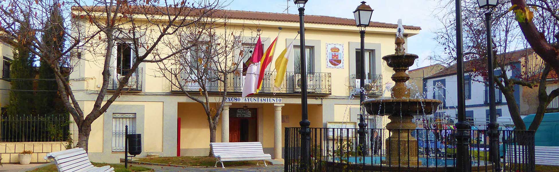
The flag (photo,
photo) and arms of Retuerta del Bullaque are prescribed by an Order
issued on 23 August 1990 by the Government of Castilla-La Mancha and
published on 29 August 1990 in the official gazette of Castilla-La
Mancha, No. 62, p. 2584 (text).
The symbols are described as follows:
Flag: Quartered. First and fourth, white, second and third, yellow. Superimposed in the center, the municipal coat of arms in full colors.
Coat of arms: Spanish shield. Per fess, 1. Argent a castle gules port and windows or, 2. Or a bend wavy azure. The shield surmounted by a Royal crown closed.
Ivan Sache, 2 June 2019