
This page is part of © FOTW Flags Of The World website
Clickable map of Osrednjeslovenska (Slovenia)
Last modified: 2013-06-22 by ivan sache
Keywords: osrednjeslovenska |
Links: FOTW homepage |
search |
disclaimer and copyright |
write us |
mirrors
See also:
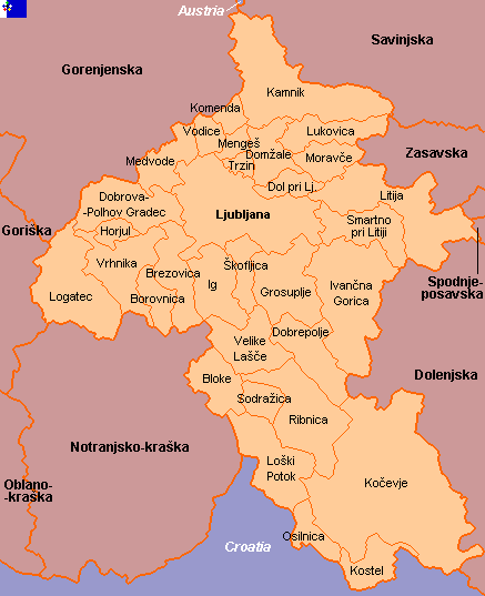
Civic municipalities in bold font.
Map as of October 2002 - Municipality of Log - Dragomer, formed in 2006, not shown - Municipalities of Kočevje, Kostel, Loški Potok, Osilnica, Ribnica and Sodražica transferred to Jugovzhodna Slovenia - Municipality of Bloke transferred to Notranjsko-kraška.
Copyright: FOTW Osrednjeslovenska map by
António Martins and Željko Heimer
and boundaries’ data by
Jarig Bakker.
If you wish to reuse them on your website, read our
copyright rules.