
Last modified: 2023-09-02 by olivier touzeau
Keywords: finistère |
Links: FOTW homepage |
search |
disclaimer and copyright |
write us |
mirrors
|
|
|
See also:
On 1 January 2015, the authority was renamed to Brest métropole, highlighting its new status of métropole.
Olivier Touzeau, 24 May 2014
Brest métropole océane
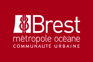
Flag of Brest métropole océane - Image by Olivier Touzeau, 24 May 2014, after a photo published in La Gazette des communes
Brest métropole océane groups eight municipalities (all together, 213,221 inhabitants; 220 sq. km; website).
The authority is seated in Brest, the biggest municipality of the
community (114,868 inh.); the other members of the community are
Bohars (3,554 inh.), Gouesnou (6,262 inh.), Guilers (7,613 inh.),
Guipavas (13,909 inh.), Le Relecq-Kerhuon (11,121 inh.), Plougastel-
Daoulas (13,708 inh.), and Plouzané (12,186 inh.).
The Communauté urbainz de Brest, established in 1974, was renamed to
Brest métropole océane in 2005.
The flag of the authority is dark red with the authority's logo, in
white monochrome version.
The logo, designed in November 2004, was modified on 18 February 2005
(most probably, following the modification of the name of the
authority). The stand-alone logo has a white background, the writing
in gray and the seamen's knot white on a dark red background.
Olivier Touzeau & Ivan Sache, 24 May 2014
Concarneau Cornouaille Agglomération
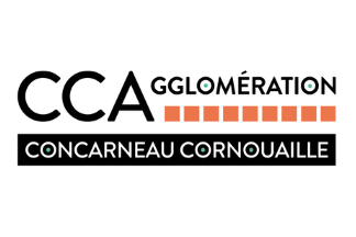
Flag of Concarneau Cornouaille Agglomération - Image by Olivier Touzeau, 28 November 2021
Concarneau Cornouaille Agglomération (50,575 inhabitants in 2018; 37,130 ha) succeeded on 1 January 2012 the Communauté de communes de Concarneau Cornouaille, which had been established on 30 June 1994 by the municipalities of Concarneau, Elliant, Melgven, Névez, Pont-Aven, Rosporden,
Saint-Yvi, Tourch, and Trégunc.
The flag of Concarneau Cornouaille Agglomération (photo,
photo,
photo) is white with the authority's logo.
Olivier Touzeau, 28 November 2021
Cap Sizun - Pointe du Raz

Flag of Cap Sizun - Pointe du Raz - Image by Ivan Sache, 30 April 2006
The Communauté de communes de Cap Sizun - Pointe du Raz (15,333 inhabitants in 2018; 17,740 ha; website), created on 17 December 1993 , is composed if the municipalities of Audierne (seat), Beuzec-Cap-Sizun, Cléden-Cap-Sizun, Confort-Meilars, Esquibien, Goulien, Mahalon, Plogoff, Plouhinec, Pont-Croix, Primelin and Sein.
The flag of Cap Sizun - Pointe du Raz is based on the logo of the authority. It shows on a white background a sketchy geographical representation of the region framed within a light blue border. The green "leaf" represents Cap Sizun; the notch in the lower
right part of the "leaf" most probably represents river Goyen,
which is navigable from Audierne to Pont-Croix. The green triangle on
the left of the logotype probably stands for the island of Sein,
whereas the blue item between the Pointe du Raz and the island of Sein
must represent the Vieille lighthouse.
Ivan Sache, 18 January 2008
Pays d'Iroise Communauté
Former flag of Pays d'Iroise Communauté - Image by Olivier Touzeau, 18 December 2021
Pays d'Iroise Communauté (48,396 inhabitants in 2018; 31,710 ha; 19 municipalities), was established in 1992 as the Communauté de Communes du Pays d'Iroise (CCPI).
The former flag of Pays d'Iroise Communauté, recorded in 2012 in Ploumoguer (photo), was white with elements of the former logo, which was changed in December 2016.
Olivier Touzeau, 18 December 2021
Pays Fouesnantais

Flag of Pays Fouesnantais - Image by Olivier Touzeau, 3 December 2021
Pays Fouesnantais (28,102 inhabitants in 2018; 13,030 ha) was created in December 1993 by the municipalities of Fouesnant, Bénodet, Clohars-Fouesnant, La Forêt-Fouesnant, Gouesnach, Pleuven, and Saint-Évarzec.
The flag of Pays Fouesnantais (photo,
photo, photo) is white with the authority's logo.
Olivier Touzeau, 3 December 2021